


Washingtonians hoping to catch a bus in 1975 consulted this friendly-looking hand-drawn map. Charming as it may be, the map has no lines. Rather, designers wrote the name of each bus route over and over along its path through the city.
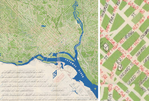
Image from DDOT.
Transit riders and cartography experts can’t fault the map designers too much. It was more challenging to illustrate detailed networks before the days of computers, and even in recent years some WMATA maps have been just as hard to follow.
Legibility aside, the map actually includes some very progressive elements considering its vintage. According to the legend, it only shows “all-day routes with frequent service,” an incredibly useful idea that’s picked up a lot of steam in the past five years.
Other progressive elements shown on the map include bike paths, although the Mount Vernon and Rock Creek trails appear to be the only ones, and much of its text is translated into Spanish.
The map also includes a fun vignette of the Metrorail system, which had yet to open but was less than a year away.
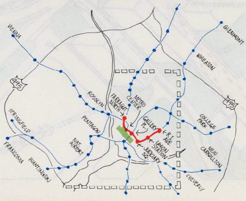
Image from DDOT.
On the other hand, some things never change. The legend for the Metrorail vignette notes Metro’s first phase was scheduled to open later in 1975. In actuality it didn’t open until 1976.
Finally, there are several other vignettes on the reverse side:
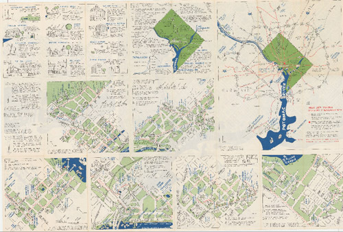
Image from DDOT.
Architecture firm John Wiebenson & Associates produced the map for the Bicentennial Commission of the District of Columbia.
 Cross-posted at Greater Greater Washington.
March 13th, 2015 | Permalink
Tags: bus, fun, history, maps, transportation


