


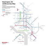
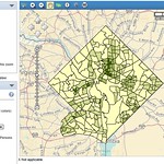
 DC Area Frequent Bus Map Bus routes in the DC area that come at least every 15 minutes. |
 Major Trails Washington region’s most important regional bike trails. |
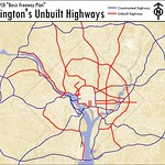 Unbuilt Highways DC’s proposed but never built highways. |
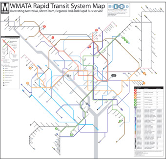
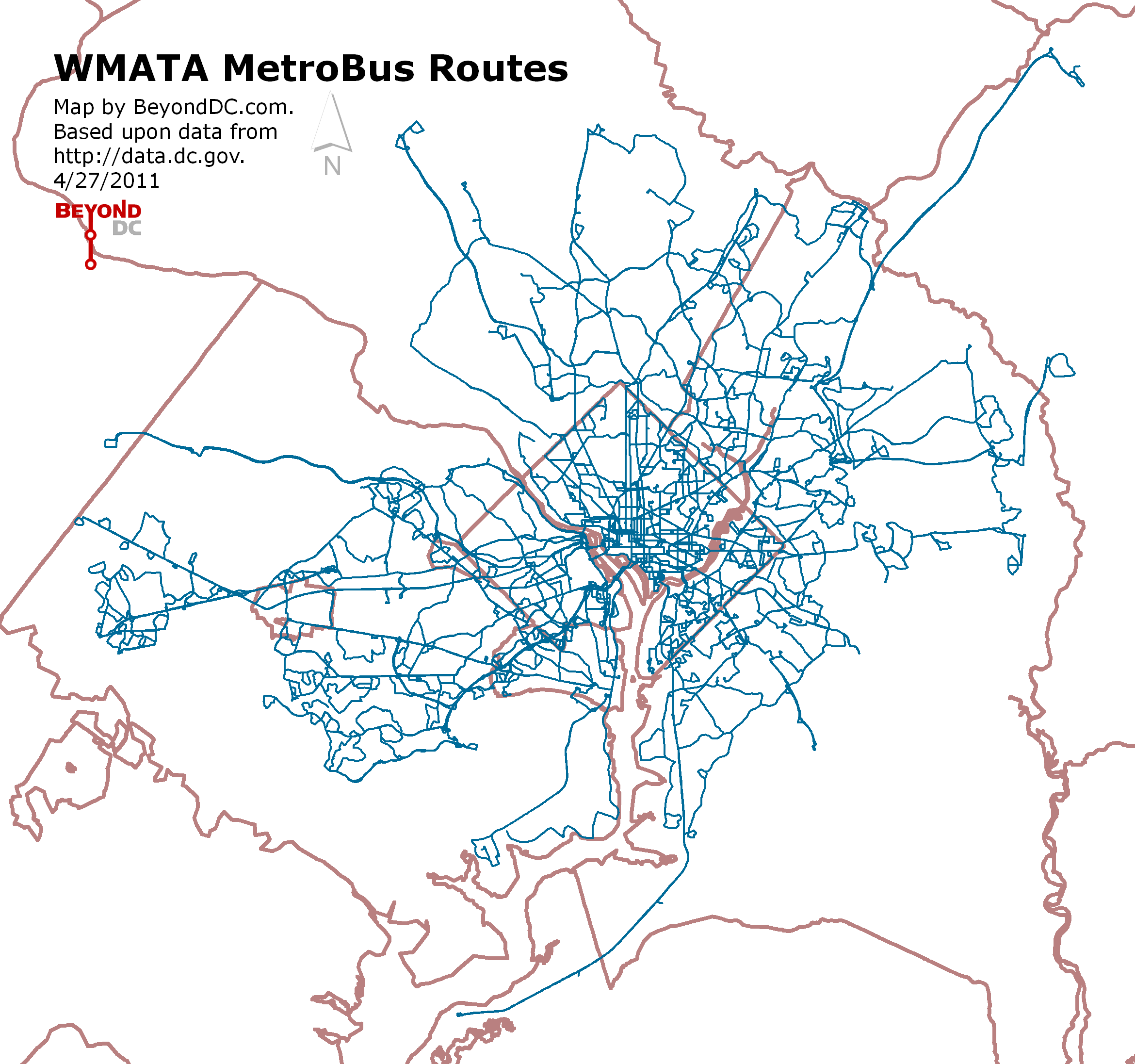 WMATA Bus Routes Every Metrobus line. |
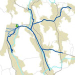
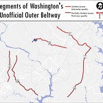 Unofficial Outer Beltway Suburban road builders are slowly piecing together an unofficial outer beltway. Here are its segments. |
 Tysons Transit Planned long range transit improvements centering on Tysons Corner. |
 DC Land Use A simple map showing residential and commercial land in DC. |
 DC Topography DC land elevation. |
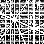 Figure Ground DC and Arlington building coverage. |
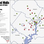 Closed Malls 42 enclosed shopping malls have been built in the DC region, but many have closed. |
 TODs To Scale The Orange Line corridor, Silver Spring, and Bethesda – Friendship Heights shown at the same geographic scale. |
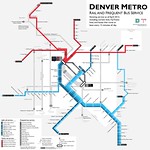 Denver Frequent Transit Rail lines and bus routes that come at least every 15 minutes in Denver, CO. |
 Neighborhood Population Density Population density maps for census tracts within the 20 largest US urbanized areas. |
 Scaled Cities Comparisons of city geography to scale for the largest urbanized areas. |
 List of US Frequent Transit Maps Links to all known US and Canadian frequent transit maps, official and unofficial. |
 Renamed Metro Stations No bloody slashes, dashes or unnecessary acronyms. |
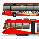 Streetcars vs Buses Streetcars offer important advantages, even in mixed-traffic. |
 2008 Transit Vision BeyondDC’s plan for regional transit expansion, from 2008. |
 Skyscraper List Directory of tall buildings in the DC region (incomplete). |
||
Average Rating: 4.4 out of 5 based on 284 user reviews.
March 2nd, 2013 | Permalink
Tags:


