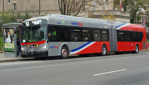
Last month, WMATA planners proposed changes to almost 100 bus lines. Some riders will love them. Others won’t. Here are the biggest winners and losers.

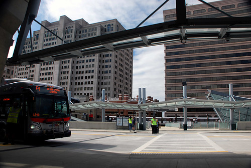
Photo by BeyondDC on Flickr.
Change is hard, but not necessarily bad
In a perfect world, every major street in the region would have a bus line running every 5 minutes. In the world of constrained budgets, every dollar a transit agency spends on low-ridership or redundant bus routes eats into what it can run on high-demand main lines.
Sometimes it still makes sense to run low-ridership routes. But figuring out where to draw that line, who wins and who loses, is incredibly hard. And since every decision a transit agency makes will create some losers, they can only hope to create more winners overall.
Thus, making changes to bus lines is always a difficult business. Changes that benefit one person will often make another person upset. And since existing bus lines have existing customers, changing them can lead to an outcry.
Let’s see how Metro did.
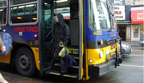
WINNER: MetroExtra
WMATA’s popular MetroExtra buses perfectly illustrate how making some existing riders unhappy can yield big wins.
By skipping over half the bus stops on a line, MetroExtra buses make some riders unhappy, since they have to walk further to get a stop. But the trade-off is buses move a lot faster, making everyone else on the bus happier, and offering more people a reason to start riding.

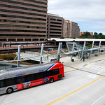
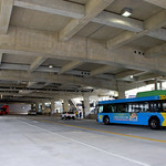
MetroExtra bus. Photo by BeyondDC on Flickr.
Since Metro began experimenting with MetroExtra eight or nine years ago, it’s been very successful, and very popular with riders. So it’s no surprise that just about every time WMATA tweaks its bus routes, they add service to more and more MetroExtra lines.
This round, Metro will add a new MetroExtra line on Veirs Mill Road, to be named the Q9. Veirs Mill connects the two branches of the Metrorail Red Line, from Rockville to Wheaton, and is already one of the busiest bus corridors in Maryland.
WMATA will also add more MetroExtra trips to three of the highest-ridership bus corridors in the entire region: The S9 on 16th Street, the 79 on Georgia Avenue, and the 16X on Columbia Pike in Arlington.
One MetroExtra line will see significant cuts: The 28X along Route 7 in Virginia. There, Metro is offering a choice of either cutting service from every 15 minutes to every 30, or ending the line at East Falls Church, eliminating service west to Tysons.
Route 7 is a natural transit corridor, one that planners envision for light rail or BRT. It’s historically suburban, but is rapidly becoming more walkable. Cuts there are a blow.
LOSER: Early morning trips to Dulles Airport
Metro plans to eliminate its 5A bus to Dulles Airport.
That’s an unpopular proposal. The 5A has been the main bus to Dulles for years, and for riders near its stops in L’Enfant Plaza, Rosslyn, and Herndon, it offers an express trip that’s often the fastest option.
But it’s redundant. The Silver Line Express bus from Wiehle station to Dulles is less expensive to operate since it’s a shorter route, and offers much more frequent service. And since many 5A riders have to ride Metro (or another bus) to get to Rosslyn or L’Enfant anyway, the Whiele bus is a better option than some assume.
While it’s nice to have an express bus from downtown to Dulles, a reasonable alternate exists, and so letting WMATA spend its resources somewhere else will probably help more riders, more often.
Except early in the morning.
The 5A makes a couple of early morning runs to Dulles before Metrorail opens. These are crucial runs, since the 5A is the only transit service to Dulles at those times. Even if early morning ridership is low, that’s an important cog in the regional transit network that ought to be there for people when they need it.
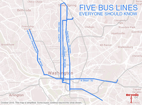
WINNER: Greenbelt Sundays
Buses will begin running on Sundays in Greenbelt on the C2, G12, and G14. This is a big win for a part of the region that’s had absolutely woeful weekend transit for a long time.

Yellow lines are bus routes with new Sunday service. Base map from WMATA.
LOSER: Low-ridership routes
WMATA is completely eliminating more than 20 low-ridership bus routes.
In most cases, they’re eliminating spurs and converting those trips to main line trips. For example, the 1Z will go away, but its trips will simply become 1B trips.
That will inconvenience a few riders who used the spur part of the 1Z, but the majority of 1-series riders would rather use the 1B, and they’ll get more buses.
WINNER: Colesville Road
The Z-series, which runs along Route 29 northeast from Silver Spring towards White Oak and Burtonsville, will have buses every 15 minutes on Saturdays, instead of every 30 minutes.
That’s the kind of frequent service that riders can use without worrying about consulting a schedule. Jumping up to that level is a huge win for eastern Montgomery County.
TOO SOON TO TELL: The Georgia Avenue leg of the Veirs Mill line
WMATA’s Q-series on Veirs Mill Road is one of the most important bus lines in Maryland. That’s why it’s getting MetroExtra service.
But one of the biggest cuts in Metro’s proposal will truncate the Q-series buses, ending them at Wheaton where Veirs Mill Road terminates, rather than having them continue south on Georgia Avenue to Silver Spring.

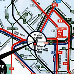
Q-series buses will stop at Wheaton. Base image from WMATA.
On the one hand, this is a major loss. The Wheaton-to-Silver Spring leg of Georgia Avenue is packed with bus riders. Cutting service there hurts one of the most productive parts of the Metrobus network.
But on other hand, there’s a lot of transit service on Georgia Avenue even without the Q-series. The Y-series runs every 10 minutes on Georgia Avenue, and the Metrorail Red Line runs directly below in a subway. Y-series buses are packed, which may be why WMATA is offering a rail fare discount between Silver Spring and Wheaton.
And there are benefits to a shorter Q-series. Buses come more often on a shorter route, and are more likely to stay on schedule. Ending the Q-series at Veirs Mill will likely improve the reliability of buses, and possibly reduce how long riders have to wait at stops.
Losing Q buses on Georgia Avenue is clearly concerning, but if it helps the rest of the line, if the new Q9 is a hit, and if other transit on Georgia can pick up the slack, things may end up better overall. It’s going to be an experiment, and it might fail. But it’s worth a shot.
Public hearing tonight
WMATA is hosting a public hearing on these proposals tonight, at 6:00 pm, at 600 5th Street NW.
If you have an opinion, attend and let them know.
 Comment on this at the version cross-posted to Greater Greater Washington.
Average Rating: 4.8 out of 5 based on 276 user reviews.